Private territory mapping (Admin): Difference between revisions
| (5 intermediate revisions by the same user not shown) | |||
| Line 126: | Line 126: | ||
<span id="Settings"></span> | <span id="Settings"></span> | ||
== | ==TERRITORY_MAPPING Settings== | ||
<br/> | <br/> | ||
| Line 150: | Line 150: | ||
<br/> | <br/> | ||
[[Private_territory_mapping_(Admin)# | [[Private_territory_mapping_(Admin)#Settings|[Top to Settings]]] <br/> | ||
[[#top|[Back to Private territory mapping]]] | [[#top|[Back to Private territory mapping]]] | ||
<span id="Import a shapefile"></span> | <span id="Import a shapefile"></span> | ||
== | |||
==TERRITORY_MAPPING Import a shapefile== | |||
<br/> | <br/> | ||
| Line 177: | Line 178: | ||
<span id="Check data"></span> | <span id="Check data"></span> | ||
== | ==TERRITORY_MAPPING Check data== | ||
<br/> | <br/> | ||
| Line 201: | Line 202: | ||
<span id="Report"></span> | <span id="Report"></span> | ||
== | |||
==TERRITORY_MAPPING Report== | |||
<br/> | <br/> | ||
| Line 225: | Line 227: | ||
<span id="Map"></span> | <span id="Map"></span> | ||
== | |||
==TERRITORY_MAPPING Map== | |||
<br/> | <br/> | ||
Latest revision as of 10:10, 10 July 2024
TERRITORY_MAPPING
Private territory mapping records breeding birds within a pre-determined area. Data can only be entered through NaturaList.
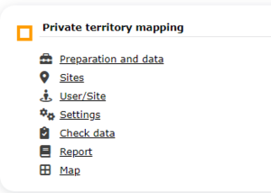
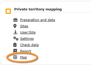
10 Private territory mapping
-
10.1 Preparation and data
10.2 Sites
10.3 User/Site
10.4 Settings
10.5 Import a shapefile
10.6 Check Data
10.7 Report
10.8 Map
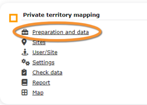
TERRITORY_MAPPING Preparation and data
Identical section to the one available to registered users with rights to the Private territory mapping. See wiki section Web interface > Protocols > Private territory mapping > Preparation and data for more information.
[Top to Preparation and data]
[Back to Private territory mapping]
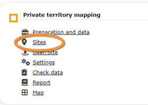
TERRITORY_MAPPING Sites
CREATE A NEW SITE:
-
1. Menu > Administration > Protocol administration > Private territory mapping > Sites
2. Select new site as if Submitting records
3. Choose Create a protocoled census -Private territory mapping
4. Name the new site
5. Draw transects or import shapefile
6. SAVE
List of all existing sites allowing a protocoled data entry.
Visit wiki section Administration > Protocol management > Sites for more information.
[Top to Sites]
[Back to Private territory maping]
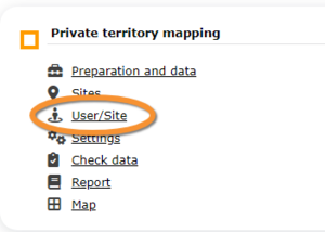
TERRITORY_MAPPING User/Site
From the Private territory mapping menu, select User / Site to assign users to study sites.
Visit wiki section Administration > Protocol management > User/Site for more information.
[Top to User/Site]
[Back to Private territory mapping]
TERRITORY_MAPPING Settings
Set protocol parameters.
Visit wiki section Administration > Protocol management > Settings for details.
Parameters describing the protocol
There are no special parameters describing the protocol available for Private territory mapping protocols.
[Top to Settings]
[Back to Private territory mapping]
TERRITORY_MAPPING Import a shapefile
Import a shapefile with the study site and/or see all imports.
Visit wiki section Administration > Protocol management > Settings > Import a shapefile.
[Top to Import a shapefile]
[Back to Import a shapefile]
TERRITORY_MAPPING Check data
Visualise a summary of survey data.
Visit wiki section Administration > Protocol management > Check data for more information.
[Top to Check data]
[Back to Check data]
TERRITORY_MAPPING Report
Visualise pooled results from surveys.
Visit wiki section Administration > Protocol management > Report for more information.
[Top to Report]
[Back to Report]
TERRITORY_MAPPING Map
Display the area map by polygon, and see its statistics.
Visit wiki section Administration > Protocol management > Map for more information.
[Top to Settings]
[Back to Private territory mapping]
[Back to Protocols management]
