Other territory mapping (Admin): Difference between revisions
| Line 142: | Line 142: | ||
==OTHER_MAPPING Import a shapefile== | ==OTHER_MAPPING Import a shapefile== | ||
<br/> | <br/> | ||
<center> | |||
<div class="toc" style="border-radius:5px;background-color:#ffffff;padding-left:8px;padding-right:8px;padding-bottom:8px;width:300px;"> | |||
[[File:Other mapping_Admin_Import_shapefile.png|300px]] | |||
<div class="toc" style="border-radius:5px;padding-left:15px;text-align:left; font-size:12px;width:285px;"> | |||
'''Other territory mapping. Import a shapefile.''' | |||
</div> | |||
</div> | |||
</center> | |||
<br/> | |||
<br/> | |||
Import a shapefile with the study site and/or see all imports. <br/> | |||
Visit wiki section Administration > Protocol management > Settings > [[Protocol_management#Import_a_shapefile_settings|Import a shapefile]]. <br/> | |||
<br/> | |||
[[Other territory mapping_(Admin)#Import a shapefile|[Top to Import a shapefile]]] <br/> | |||
[[#top|[Back to Other territory mapping]]] | |||
<span id="Check data"></span> | <span id="Check data"></span> | ||
Revision as of 15:16, 8 July 2024
OTHER_MAPPING
26 Other territory mapping
-
26.1 Preparation and data
26.2 Sites
26.3 User/Site
26.4 Settings
26.5 Import a shapefile
26.6 Check Data
26.7 Report
26.8 Map
OTHER_MAPPING Preparation and data
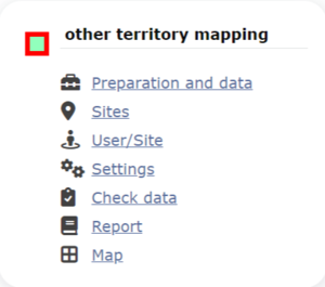
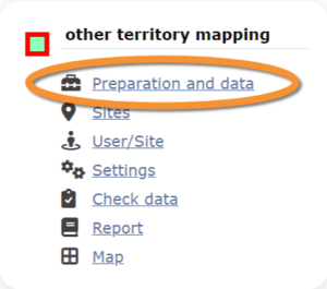
Identical section to the one available to registered users with rights to the Other territory mapping. See wiki section Web interface > Protocols > Other territory mapping > Preparation and data for more information.
OTHER_MAPPING Sites
|
CREATE A NEW SITE:
or through Menu > Administration > Protocol administration > Other territory mapping > Sites> +NEW button 2. Select new site as if Submitting records 3. Choose Create a protocoled census -Other territory mapping 4. Name the new site 5. Draw a polygon or import shapefile 6. SAVE |
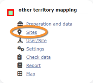
List of all existing sites allowing Other territory mapping.
Visit wiki section Administration > Protocol management > Sites for more information.
OTHER_MAPPING User/Site
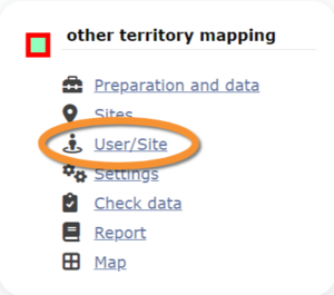
From the menu, select User / Site to assign users to study sites.
Visit wiki section Administration > Protocol management > User/Site for more information.
OTHER_MAPPING Settings
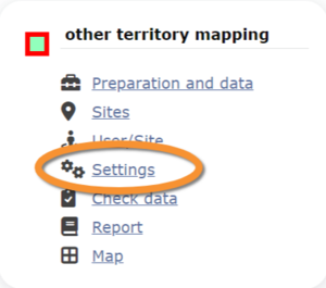
Set protocol parameters.
Visit wiki section Administration > Protocol management > Settings for details.
Parameters describing the protocol
There are no special parameters describing the protocol available for Other territory mapping protocol.
OTHER_MAPPING Import a shapefile
Import a shapefile with the study site and/or see all imports.
Visit wiki section Administration > Protocol management > Settings > Import a shapefile.
[Top to Import a shapefile]
[Back to Other territory mapping]
OTHER_MAPPING Check data
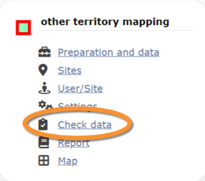
Visualise a summary of survey data.
Visit wiki section Administration > Protocol management > Check data for more information.
OTHER_MAPPING Report
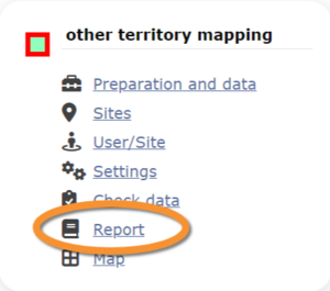
Visualise pooled results from surveys.
Visit wiki section Administration > Protocol management > Report for more information.
OTHER_MAPPING Map
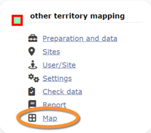
Display the area map by polygon, and see its statistics.
Visit wiki section Administration > Protocol management > Map for more information.
[Top to Other territory mapping]
[Back to Protocols management]
