Other territory mapping (Admin)
OTHER_MAPPING

Other territory mapping. Admin menu.
26 Other territory mapping
-
26.1 Preparation and data
26.2 Sites
26.3 User/Site
26.4 Settings
26.5 Import a shapefile
26.6 Check Data
26.7 Report
26.8 Map
OTHER_MAPPING Preparation and data

Other territory mapping. Preparation and data.
Identical section to the one available to registered users with rights to the Other territory mapping. See wiki section Web interface > Protocols > Other territory mapping > Preparation and data for more information.
[Top to Preparation and data]
[Back to Other territory mapping]
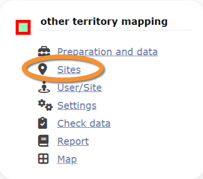
OTHER_MAPPING Sites
CREATE A NEW SITE:
1. Directly by Transmit my sightings map
or
through Menu > Administration > Protocol administration > Other territory mapping > Sites> +NEW button
2. Select new site as if Submitting records
3. Choose Create a protocoled census -Other territory mapping
4. Name the new site
5. Draw a polygon or import shapefile
6. SAVE

Other territory mapping. Sites.
List of all existing sites allowing Other territory mapping.
Visit wiki section Administration > Protocol management > Sites for more information.
[Top to Sites]
[Back to Other territory mapping]
OTHER_MAPPING User/Site

Other territory mapping. User/Site.
From the menu, select User / Site to assign users to study sites.
Visit wiki section Administration > Protocol management > User/Site for more information.
[Top to User/Site]
[Back to Other territory mapping]
OTHER_MAPPING Settings

Other territory mapping. Settings.
Set protocol parameters.
Visit wiki section Administration > Protocol management > Settings for details.
Parameters describing the protocol
There are no special parameters describing the protocol available for Other territory mapping protocol.
[Top to Settings]
[Back to Other territory mapping]
OTHER_MAPPING Import a shapefile

Other territory mapping. Import a shapefile.
Import a shapefile with the study site and/or see all imports.
Visit wiki section Administration > Protocol management > Settings > Import a shapefile.
[Top to Import a shapefile]
[Back to Other territory mapping]
OTHER_MAPPING Check data

Other territory mapping. Check data.
Visualise a summary of survey data.
Visit wiki section Administration > Protocol management > Check data for more information.
[Top to Check data]
[Back to Other territory mapping]
OTHER_MAPPING Report

Other territory mapping. Report.
Visualise pooled results from surveys.
Visit wiki section Administration > Protocol management > Report for more information.
[Top to Report]
[Back to Other territory mapping]
OTHER_MAPPING Map

Other territory mapping. Map.
Display the area map by polygon, and see its statistics.
Visit wiki section Administration > Protocol management > Map for more information.
[Top to Map]
[Top to Other territory mapping]
[Back to Protocols management]