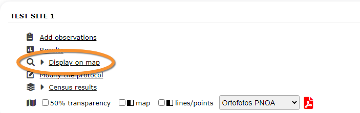
File:2023-05-09 WBC Display on map.png
No higher resolution available.
2023-05-09_WBC_Display_on_map.png (703 × 222 pixels, file size: 19 KB, MIME type: image/png)
WBC Display on map
File history
Click on a date/time to view the file as it appeared at that time.
| Date/Time | Thumbnail | Dimensions | User | Comment | |
|---|---|---|---|---|---|
| current | 19:06, 9 May 2023 | | 703 × 222 (19 KB) | Judit (talk | contribs) |
You cannot overwrite this file.
File usage
The following 45 pages use this file:
- Acoustic data
- Bee eater
- Bewick's Swan
- Bewicks swan
- Birds of prey
- Black Grouse protocol
- CBBS
- Cirl Bunting
- CoBiMo
- Corncrake
- Corncrake points
- Corncrake polygons
- Grey Partridge
- Jackdaw
- MF
- MHB & BDM
- Meadow birds
- Other territory mapping
- Protocoled census
- Protocols web
- Protocols web/en
- Protocols web/es
- Protocols web/fr
- Rock Ptarmigans protocol
- Rook
- SHOC
- SHOC Sites
- SHOC Sites RNF
- SOCC
- STOC EPS
- STOC Montagne
- STOC ONF
- STOC RNF
- STOC Sites
- STOC Sites RNF
- Sand Martin
- Single nesting species
- VBS
- Waterbird Protocol
- Waterbird census Protocol
- Woodcock monitoring
- Woodpecker territory
- Woodpeckers
- Translations:Protocols web/230/en
- Translations:Protocols web/230/es
